

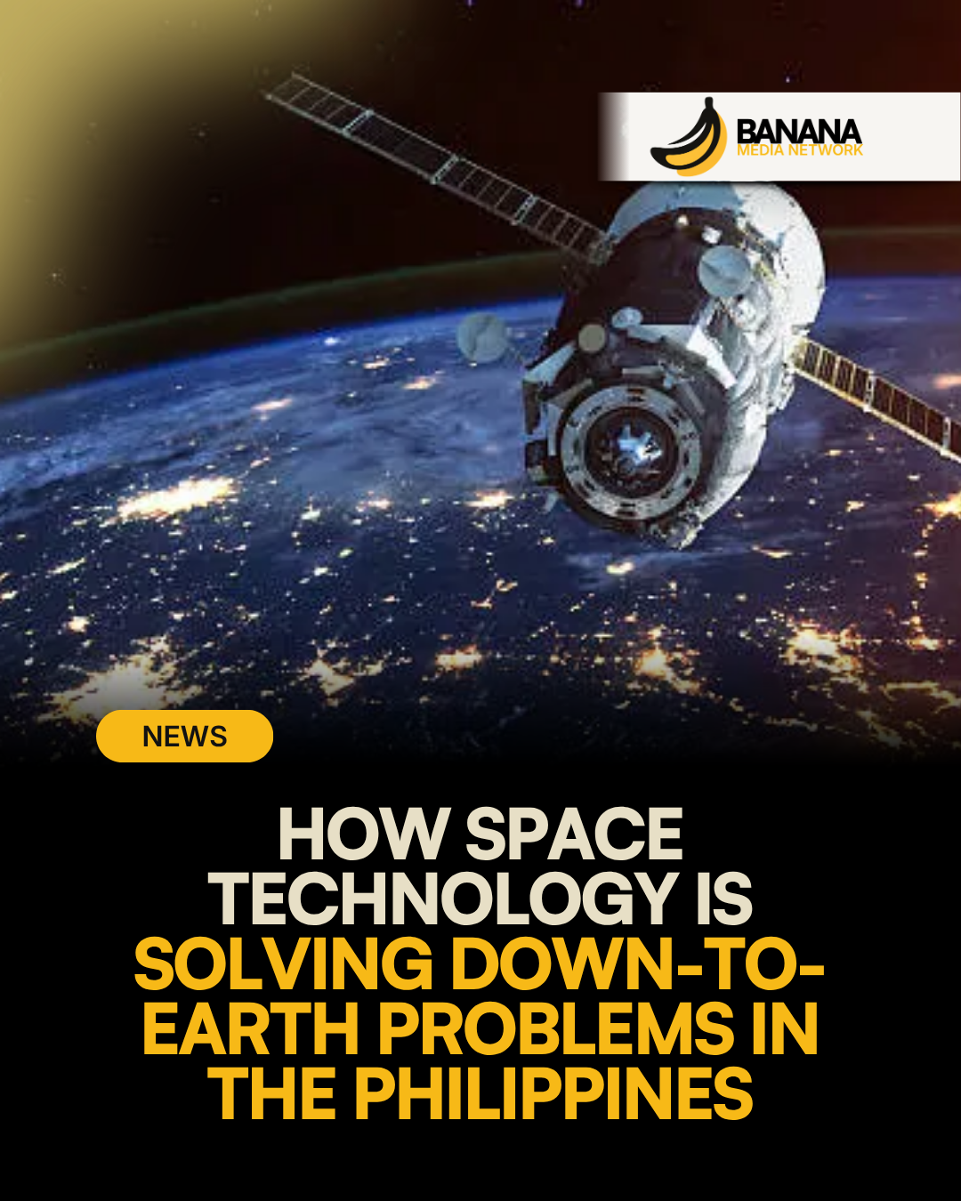
Space science is often viewed as an abstract or elite pursuit, but for developing nations like the Philippines, orbital technology is rapidly becoming vital terrestrial infrastructure. Under the leadership of Dr. Gay Jane Perez—physicist, environmental scientist, Tatler Asia Front & Female Innovation awardee, and Director General of the Philippine Space Agency (PhilSA)—the country's space program is reorienting its priorities from basic academic research toward real-world applications in disaster risk reduction, climate adaptation, and agricultural sustainability.
Dr. Perez, who previously led data-processing and science teams behind the nation's Diwata microsatellite program, emphasizes that satellite remote sensing offers direct solutions for everyday socio-economic challenges. By utilizing satellite-derived metrics—such as soil moisture levels, surface temperatures, vegetation health index, and rainfall mapping—PhilSA provides critical real-time data to government planners, agricultural agencies, and disaster management units.
"As a scientist, it is typical to expect that our work will be confined to academia where we run research laboratories, lead project implementation, advise students, and publish papers," Dr. Perez noted. "Instead, my work now revolves around laying down policies and programs and getting resources so that our scientists and engineers can do the science, develop technologies, and generate solutions that would bring the benefits of space to the Filipino people."
Grounded Applications: Agriculture and Climate Resilience
In a country frequently hit by severe tropical storms, typhoons, and seasonal droughts, conventional land-based monitoring systems often face operational limits. Earth observation satellites help bridge these coverage gaps by generating high-resolution, time-series imagery across the archipelago.
- Crop Management & Drought Forecasting: Satellite remote sensing allows agricultural planners to track crop stress, predict yield variations, and issue early warnings for drought conditions, protecting rural livelihoods before visual signs of crop damage appear on the ground.
- Disaster Response & Mitigation: Real-time satellite mapping enables emergency response teams to evaluate flood inundation zones, monitor coastal erosion, and deploy emergency aid more efficiently during extreme weather events.
- Environmental Monitoring: Orbital monitoring tracks deforestation, land-use changes, and coastal marine environments across isolated islands without relying on expensive physical surveys.
Institutional Development and Inclusive STEM Pathways
Beyond hardware and satellite deployments, Dr. Perez views her role at PhilSA through the lens of long-term institution building and human capital development. A primary focus is establishing policy frameworks that translate raw scientific research into national government priorities, while encouraging local talent to remain and build careers within the domestic innovation ecosystem.
Addressing retention challenges in science, technology, engineering, and mathematics (STEM)—particularly for women—is a central pillar of this mandate. Dr. Perez stresses that expanding female leadership in space science requires systemic changes that account for non-linear career paths and familial obligations.
"We need to think beyond getting women into STEM. We also need to ask why some don't stay," Dr. Perez highlighted, pointing to the importance of creating diverse leadership opportunities across policy, public administration, and technology entrepreneurship.
By integrating satellite capabilities into everyday governance and expanding access to scientific careers, the Philippine Space Agency is demonstrating how space assets can function as core tools for economic resilience and national development.
Will Philippine local government units and disaster agencies successfully bridge the technical gap to integrate PhilSA's real-time satellite feeds before the next major climate disruption strikes?